DELTIN
Brief History
Merk & Cie was the largest true independent in West Germany growing to more than 500 Deltin branded filling stations in the mid 1960s, concentrated in Bavaria. In 1989, after many years of shrinkage, Merk re-branded most of the remaining 120 or so stations to BP, leaving just a handful of low-volume sites using the Deltin name. The entire company was subsequently sold in 1994 to the Austrian firm OMV, enabling it to gain a toehold in the South German market and the Deltin name had disappeared by the end of the decade.
Maps
|
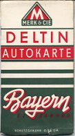
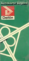
The first known Deltin map (left) dates from between 1951 and 1954. It covers just its Bavarian homeland at a scale of 1:250,000. The actual map is stapled inside light card covers, and was produced by Wolff. |
|
|
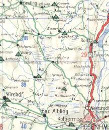
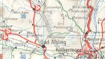
The extract (right) shows just how dense the Deltin network was in its heartland, with many villages to the North and West of Rosenheim having Deltin pumps in 1965. Significantly, there were none in the town itself, and it was this reliance on small country stations that explains why Deltin maps are so rare and how the company lost over 80% of its outlets in the 25 years after this map was printed. |
|
|
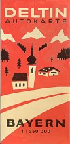
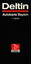
This 1986 map is almost certainly of the final design used by Deltin, as the company only had 144 outlets then, and switched most to the BP brand in 1989. Simple card covers fitted onto a stock map of Bavaria at 1:250,000, which may have allowed a standard cover to be used on several different years' maps. As the logo is hard to see from the image, it is repeated right. |
|
Text and layout © Ian Byrne, 2001-2005
All original copyrights in logos and map extracts and images are acknowledged and images are included on this site for identification purposes only.

