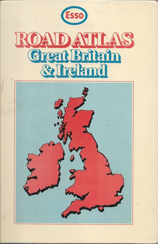
Esso Road Atlases from the United Kingdom

As the price of its sheet maps rose sharply after the 1973 oil crisis, Esso sold a number of hardback road atlases, with full colour printed board covers (and no dust jackets). In general these used the same cartography prepared by George Philip - although the spine and flysheet still named Edward Stanford Ltd as the publisher. Ireland and London were included and there was a full index on blue paper for the road maps and pink paper for London streets.
Edward Stanford editions: 1971-83
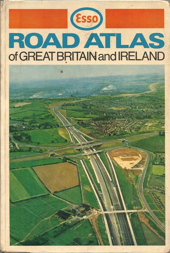
 1972-3 |
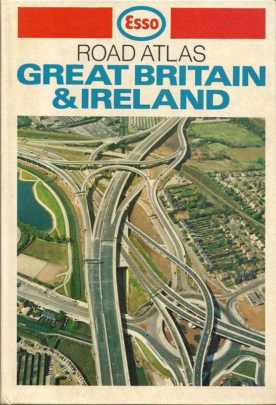
 1973 |
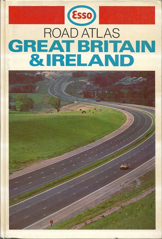
 1978 |
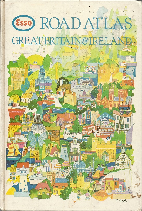
 1979 |
 1983 |
The first atlas is copyrighted 1971 but dated 1972-3 on the flysheet: this may be as the copy shown is a reprint for Book Club Associates. The photographs are not identified, but 1972 is of the M1/A52 junction near Long Eaton; 1973 shows the M6 Gravelly Hill interchange popularly known as "Spaghetti Junction". The design of the covers broadly follows the 1971-3 sheet map covers; although Suzanne Dolesch's drawings were first used in 1977 on the sheets, it was only in 1979 that they appeared on an atlas cover. The 1983 atlas is identified as the Seventh edition. |
The images below are taken from the 1973 and 1983 atlases:
 1972 map |
 Strip map |
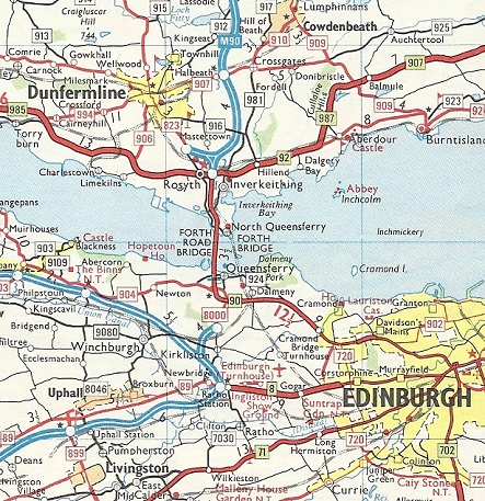
 Edinburgh |
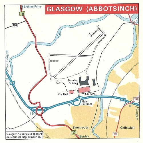
 Glasgow airport |
 1983 map |
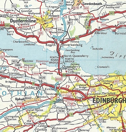
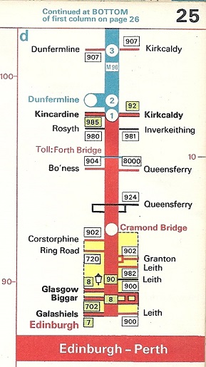
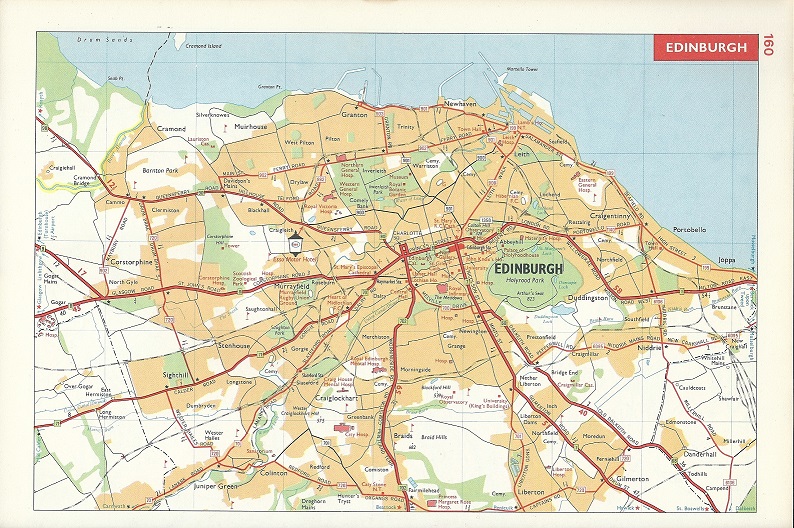
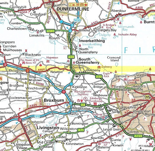
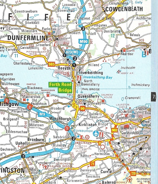
The Stanford atlases reproduced the sheet maps with Britain covered at 1:316,800 (5 miles to inch) and Ireland at 6 miles to the inch and Greater London at 1 inch:1½ miles with inner London at 4 inches to the mile. 33 urban centres were mapped at 1 mile to the inch, with major cities such as Edinburgh having a full page and much wider coverage than on the sheet maps. Additionally, sixteen ports, including such unlikely places as Fishbourne and Fishguard had smaller maps at 2 inches to the mile, and there were ten airport approach plans. Glasgow, with its old name of Abbotsinch, is shown here - neither Prestwick nor Edinburgh airports merited inclusion. The first few years also had motorway strip maps, which included access to the Forth Road Bridge. The 1983 atlas maps (left) were of the same design, but updated for additional motorways (and no longer showed the Esso Motor Hotel in Edinbugh). |
||
Later atlases
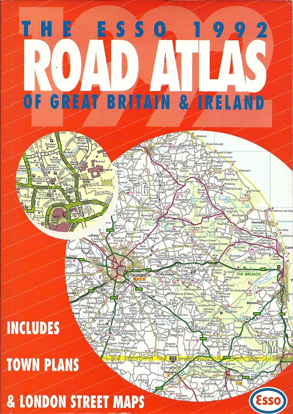
 1992 |
 1993 |
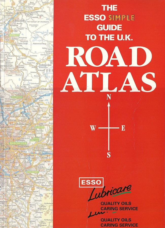
In 1990 Esso changed its map supplier to the Automobile Association (AA). Two years later, the AA cartography was reused in a softback A4 format atlas dated 1992 on the cover (but copyrighted 1991). Despite the title still being "Great Britain and Ireland", it was really only the former, at the slightly larger scale of 1:253,440 (4 miles to the inch); Ireland was covered on just two double pages at 16 miles to the inch. There were now 24 town plans in addition to central London, with points of interest described below - all were at a much larger scale and covered only the city centres, and none were in Ireland (previously both Belfast and Dublin had been included). The following year its Lubricare operation produced a promotional atlas, utlising newer cartography by George Philip. Although carrying an RRP of £6.99 (like the AA version), it is thought to have only been used for an on-pack promotion. Maps were again mainly at 4 miles to the inch, though just Northern Ireland was covered at a very small scale. 20 towns (plus London) had central city plans, with Belfast included again. |
 1992 |
 1993 |

Text and layout © Ian Byrne, 2018
All original copyrights in logos and map extracts and images are acknowledged and images are included on this site for identification purposes only.