 MOBIL - Maps from Great Britain
Brief History
Vacuum started selling its lubricating oils in England as early as 1885 and rapidly became one of the leading brands. Early motor racing successes included the Gordon Bennett races of 1903 and the Isle of Man TT race in 1911. However Mobil (as Vacuum became) stayed out of fuels retailing until 1952 when it needed assured outlets for it new refinery at Coryton.
Mobil expanded rapidly in the next two decades becoming Britain's fourth largest petrol retailer without having made any significant acquisitions. This was largely due to being innovative in UK petrol marketing: Mobil was the first major brand to adopt self service on a large scale in the mid 1960s. In 1996, along with the rest of Mobil's European operations, the fuels were placed into a joint venture with BP and the Mobil brand disappeared from service stations. Four years later, at the start of 2000, BP acquired the minority stake in this activity of the newly formed ExxonMobil.
Maps
 |
 |
 |
 |
 |
 |
 |
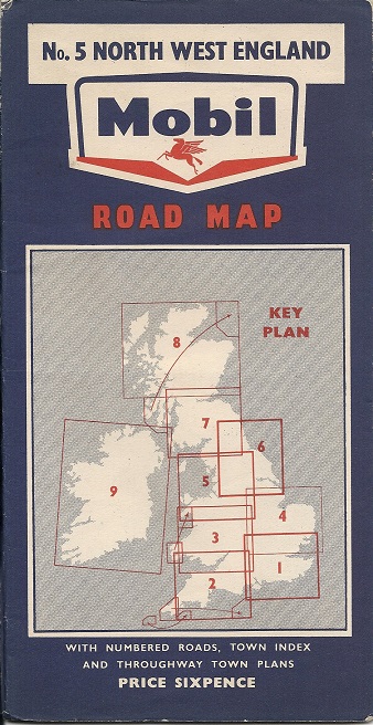
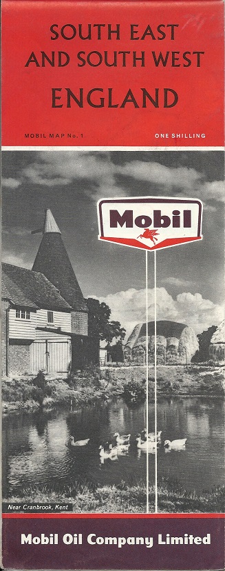
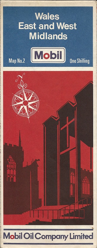
The six maps shown above represent the different series of Mobil maps issued in the UK. On the left is the first series, probably issued around 1955 as the logo is transitional between the old Mobilgas shield and the newer Mobil logo. These ten maps are quite uncommon and were produced by Roadfinder Maps. The map shown is most unusual as outer London is printed with white roads on a dark blue background: this does not add to its legibility! The name of the distributing garage and its manager's signature are overprinted on the rear cover. The similar set from around 1960 with the newer logo are, if anything, even harder to find. |
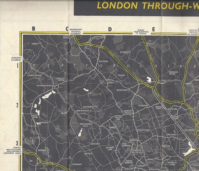
toThe four tall format maps were all produced by A W Gatrell (or, from 1972, its successor company Wm Collins Sons & Co) to a common basic design. (Some maps in the mid-1970s credited Cartographic Services of Cirencester, another Collins group company). From third left, the basic cover designs were used from 1960-5, 1966-8, 1967-77 and 1978-84. Only earlier versions of the 67-77 design were pre-printed with a price. Each series had five sections including London, and some were sold in a blue vinyl wallet.
|
Mobil produced this map (left) of the Isle of Man TT course in the late 1950s: note that the map is upside down relative to its cover. Dashed red lines indicated good viewing points along the route. |
|


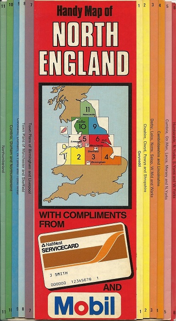
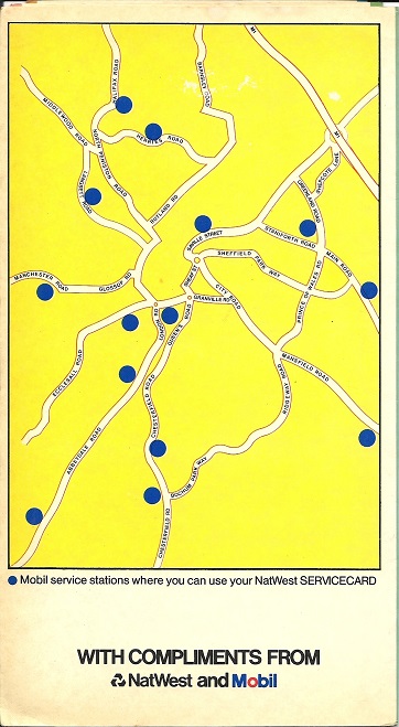
This map was produced by National Westminster Bank in collaboration with Mobil, when the bank was testing its new ATMs, operated by a "Servicecard". Apparently available freely to customers, it was a laminated version of the 1986 Bartholomew Handy Map of North England. Although no Mobil locations are marked on the actual map sections, the rear cover has a totally anonymous town plan (known to be of Sheffield) showing the 14 Mobil stations where the card could be used. A very similar map of Southern England was produced for NatWest Servicecard and Texaco. It's not known if a similar map covered Scotland. |
|
|


In 1992 Mobil sponsored the English Heritage visitor attraction map showing the location of their properties. The map (not shown here) included a small Mobil logo on the front cover and an advert for the company on the rear.
Please follow the links to the main Mobil Europe or Mobil France pages.

Text and layout © Ian Byrne, 1999-2019
All original copyrights in logos and map extracts and images are acknowledged and images are included on this site for identification purposes only.