SHELL
Shell Pilots to the South Coast and English Channel
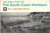
Shell's first move into publishing was through the acclaimed series of County Guides in the 1930s. It later became a regular sponsor of thematic guides specially commissioned for the company, but in 1968 took over sponsorship of a long established guide for sailors along the South Coast of England. This had first been published by Faber & Faber in 1939 under the title Sailing on the South Coast. Written by K Adlard Coles, it was revised in 1950 under the title Pocket Pilot for the South Coast. However it was not until the fourth edition, published in 1968, that Shell started sponsoring the volume under the new title The Shell Pilot to South Coast Harbours. By this date, the pilot ran to around 250 pages on glossy paper.
|
|
|
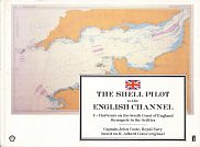
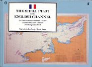
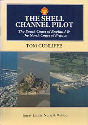
K Adlard Coles remained as the main author until 1985, although from the 6th edition (1982) revisions were made by Captain J.O. (Johnnie) Coote. Nonetheless, the volumes still contained some of the distinctive attitudes of Adlard Coles. From 1985 a new title was used, to reflect the creation of a sister title covering the North Coast of France (and no doubt reflecting the advances in navigation that enabled small craft to safely cruise across the Channel). The two volumes were both called The Shell Pilot to the English Channel, but subtitled I - Harbours on the South Coast of England and II - Harbours in Northern France and the Channel Islands respectively. The English volume ran to 265 pages, with the French one at 310. The white cover shown above is a 1987 (Seventh edition) of Volume I, and the pale blue Volume II dates from 1991 (Second edition, revised). The French volumes were noted for Coote's "swashbuckling commentaries in the World War II Normandy landings". Coote died in 1993, and it was decided to merge the two dumpy volumes into an enlarged A4 volume, as the same time changing the publisher from Faber & Faber to the nautical specialists Imray, although to ensure continuity, some of the text and black & white photos were re-used.
|
|
|
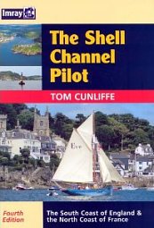
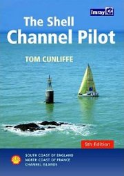
Imray re-designated the newly rewritten combined volume as being their first edition in 1995 (above left), and decided to provide regular updates every three years. In fact, this crept forward slightly so that the 4th edition came out in 2003 (above centre), and the current edition is the sixth, first published in 2009 (above right). This is thought to be the only cartographic or travel publication still sponsored by Shell in the UK. With the changes in editors and publishers, there have also inevitably been stylistic changes, as demonstrated by the extracts from the section on Shoreham by Sea following. For the first time colour photography was added to the old b/w images, and the new volume came in at exactly 300 pages.
This section will briefly look at some of the changes to the volume as it progressed from 1968 to date. The images below are all scanned at the same relative scale.
The first Shell edition (1968) had 60 small harbour charts at the back of the volume; the section describing each harbour was instead illustrated by sea level (and occasionally aerial) photographs, as can be seen from the section about Shoreham by Sea in West Sussex. A second view of the entrance from a different angle was included on another page. Adlard Coles warned sailors that although "Superficially Shoreham is a good yachting harbour...[it] is increasingly a commercial port with little room for private vessels. It is not possible to summarize here the 26 pages of Byelaws...."
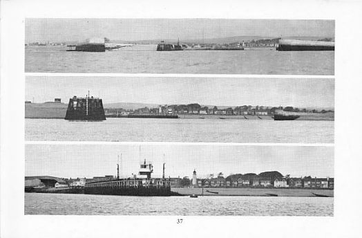
By 1987, charts were interspersed with the text and photographs. Johnnie Coote advised "Shoreham has few attractions for visiting yachtsmen...There is a lot of commercial traffic (timber, coke, liquid gas and plonk in bulk)." Only one sea level photograph was retained, the central part of the bottom photo above from 1968, showing the middle-pier watchhouse (sic). However a full page aerial photograph of the Eastern arm had been added, as well as an enlarged chart:
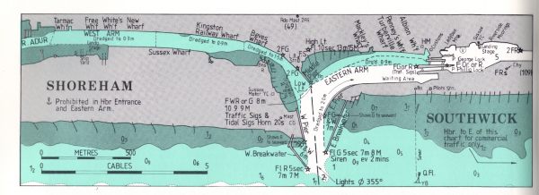
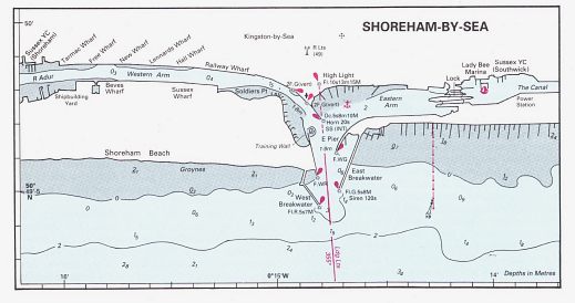
For 1995, Tom Cunliffe left much of Coote's description unchanged (although the reference to coke was an anachronism as the power station had been demolished in 1988). The sea level photograph of the middle-pier watchhouse was retained, but a new full colour aeriel photograph was added. In common with the rest of the volume, the chart had been redrawn using a clearer (but no less accurate) style. This was one of the few charts that did not extend to a full A4 page:
The next page considers Shell BP Shilling Guides to the Counties Great Britain
Text and layout © Ian Byrne, 2011
All original copyrights in logos and map extracts and images are acknowledged and images are included on this site for identification purposes only.

