BP
1947-1977 Maps
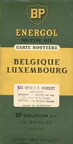
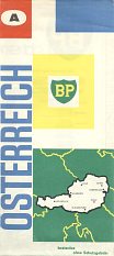
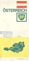
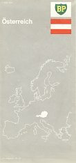
This page looks at road maps issued by BP in the thirty years following the Second World War. In fact, no maps can be firmly dated to the late 1940s, although it is possible that the Belgian issue below comes from that decade. BP adopted a green background to the shield in 1947 and standardised its image across all its main markets, ending the variations seen in the blue and white image. Around 1950 it started putting a single capital letter on the cover of some maps, starting with A and running though the alphabet to reach A again in 1977. It also imposed a more or less common design to its maps, as exemplified by the sequence of mainly Austrian maps below, although in the 1950s designs most carried a simple outline of the country.
|
|
|
|
|
|
|
|
|
|
|
|
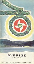
It is likely that an Austrian design was used similar to the Belgian one. There were no widely used designs in the period 1958-63, so that the 1959-61 Austrian and 1963 Swedish maps shown are strictly speaking national variants; however the BP logo in the red windmill-like disc is common to most maps from this era. In contrast the 1964-74 designs were quite strictly followed across most markets, with the UK and Germany as key exceptions. The final two designs shown superficially look very similar, but on closer inspection both the lady and castle beneath her have been redrawn - in each case they image is superimposed upon a simplified national flag.
The Austrian maps were produced by Freytag-Berndt, except in the late 1960s when the contract passed briefly to Heinz Fleischmann.
National Variations
BP maps were subject to rather more variety than other companies with co-ordinated map programmes such as There are separate pages for BP maps from Germany and the United Kingdom, both of which sold extensive numbers of sectional maps.
The next page in this sequence looks at some of the many national variations used on BP maps between 1957 and 1977.
Text and layout © Ian Byrne, 2002-16
All original copyrights in logos and map extracts and images are acknowledged and images are included on this site for identification purposes only.

