SHELL
Shell cartoguides from France: 1958-1980
In 1958 Shell replaced its card covered maps, with a plain and uniform design, by a series of colourful Cartoguides. These divided the country into 13 sections (Corsica was not added as the 14th section until 1962) and on one side carried a map at a scale of 1:500,000. This was copyrighted by Shell Berre (the operating company in France) but designed and printed by Foldex France (simply referred to as "F.F." on the map). The reverse of the cartoguide had an alphabetical gazetteer, although the earliest series also included a general description of the area and an illustration of a character in regional costume.
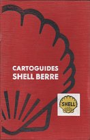 Box from 1958 set |
In the early years, cartoguides were given away free at Shell stations, although they were also sold as a set. For 1958 a stout cardboard box was used, with the key to map sections pasted onto the inside cover. This was obviously expensive to produce, so in 1959 the attractive wallet shown below left was used instead. Later sets had plain wallets in blue, red or black vinyl, overprinted in white or gold. |
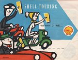 As cartoguides were a new concept, Shell included this leaflet explaining them in their 1958 set. It stressed they were suitable for motorists travelling 200km a day. |
The first series ran from 1958-60 and had cover drawings by Jean Colin. Although the covers were identical, there were numerous changes on the map to the line drawings of featured sights between the 1958 and 1959 editions.
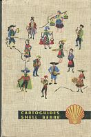 Wallet from 1959 maps |
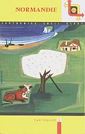 1958 Section 3: Normandie |
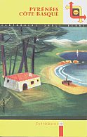 1959 Section 12: Pyrénées - Côte Basque |
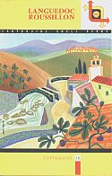 1960 Section 13: Languedoc Roussillon |
In 1962 a new series was produced with cover drawings by Nathan. The small black and yellow drawings of selected buildings were taken off the face of the map and replaced by a few stylised images in the expanded gazetteer on the reverse. The maps were first dated on the cover in 1963, when they were given overlapping years (eg 1963/64). In 1964 the yellow top was generally replaced by white with a larger Shell logo, although I have examples from section 4 and 11 that retain the old style, suggesting that there may have been more than one printing in each year.
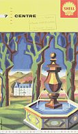 1962 Section 7: Centre |
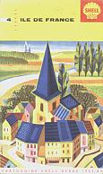 1963 Section 4: Ile de France |
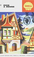 1964 Section 5: Rhin & Meuse |
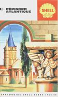 1965 Section 9: Périgord Atlantique |
In 1966 the cover designs were changed again to one with multiple images representing the area, drawn by Alain Cornic. Internally there were few changes, although a panel promoting Shell's Assistance Tourisme was added from 1967. Corsica's map was narrower, reflecting the smaller area of the island compared to mainland sections.
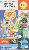 1966 Section 11: Provence - Côte d'Azur |
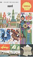 1967 Section 1: Nord |
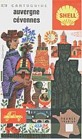 1968 Section 10: Auvergne - Cévennes |
 1966 Section 14: Corse |
More recent Cartoguides are less commonly found, probably as they were only sold in sets. From left below, are a 1969/70 and a 1972 example, both with cover designs by Hamot. The border colour and images varied with section, but remained the same from 1969 to 1973. Most maps carry a clear date but occasional sections are missing one.
From 1975 the sets used a smaller format, but the same cartography inside. More busy scenes on the 1975 covers (right) were replaced by a less attractive geometric design in 1980. The 1978 series was almost identical to the 1975 designs, except that the word "Cartoguide" at the top generally appeared in black rather than fawn. Both sets used illustrations by Alain Cornic and only had a small Shell logo on the rear cover. The 1978 series noted that Cartoguides had been awarded a gold medal by the Société d'Encouragement au Progrès and were, for the first time, printed in Spain by Tonsa although still realised by Recta-Foldex. The complete 1975 set was available in a blue vinyl wallet, with the 1978 set in a brown one and the 1980 set in a red one.
A later set appeared in 1984 in a hessian/vinyl wallet (far right). For the smaller format maps it was only the colours that varied between sections, apart from the country map, which was backed by a Routes parallèles de France map showing less busy but still "agreeable" routes. Each map was credited to Recta-Foldex but still marked as being copyright Shell Française.
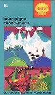 1969/70 Section 8: Bourgogne Rhône-Alpes |
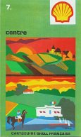 1973 Section 7: Centre |
 1975 Section 11: Provence - Côte d'Azur |
 1980 Section 3: Normandie |
 1980 Section 2: Bretagne |
Each series of cartoguides was accompanied by a Shell map of France, usually to a distinctively different design (although the 1980 and 1984 series kept to the same basic style as the sectional maps from the same year). This was included with the set of maps in later series as number 15, although the number was not printed on the map itself. One side had a regular map of France; the reverse usually carried a two colour maps of routes parallèles showing motorists how to avoid the busiest main roads.
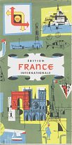 1959 |
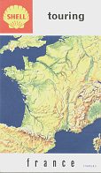 1964 |
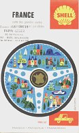 1966 |
 1975 |
 1978 |
The next page in the sequence looks at some of the other maps issued by Shell in France, often as a bonus map to a set of cartoguides.
Text and layout © Ian Byrne, 2000-14
All original copyrights in logos and map extracts and images are acknowledged and images are included on this site for identification purposes only.

