SHELL
Road Maps from 1973 to 1994
Shell introduced a new simplified version of its pecten logo in 1971, although it did not appear on all road maps until the 1972 or 1973 editions. 1973 was, of course, the year of the first oil crisis, which culminated in an Arab boycott on oil supplies to the Netherlands. This hit Shell moderately hard, with its huge Rotterdam refinery, and may have influenced the move to increase real prices of maps, leading to lower sales.
 |
 |
 |
Three 1970s maps: |
|
Throughout the period Deutsche Shell worked closely with Mairs Geographischer Verlag to produce Die Generale Karte sectional maps at a scale of 1:200,000. On the left is a 1973 section 2. Next to it is the 1982 equivalent: by now sections were sold on double sheets (this is section 1/2 = Schleswig-Holstein) with a card cover. As well as 26 German and 8 Austrian sections, die Generale Karte covered 15 holiday areas popular with German tourists: this 1982 paper-covered map is of the Costa del Sol. |
 |
 |
 |
 |
 |
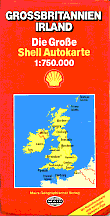 |
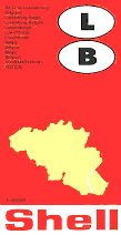
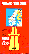
Deutsche Shell and Mairs also continued to collaborate on country maps, sold through bookshops as well as service stations. The three main cover designs are represented by a 1975 map of Belgium & Luxembourg, a 1978 map of Finland and a 1988 one of Britain. The two later designs had German on the front cover and English/French on the rear. |
 |
 |
Shell's Dutch and Belgian firms continued to issue maps throughout the period: the two Netherlands maps shown left (from 1974 and 1988) are remarkably similar. The main maps by Falkplan, at 1:250,000, use the same design, although the later map has a full gazetteer on the reverse instead of small maps locating mills, castles and youth hostels. |
 |
|
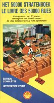
In 1986 Belgian Shell sold this Falkplan atlas of 50,000 streets, with 86 double pages of maps and a full street index covering almost all the country. |
|
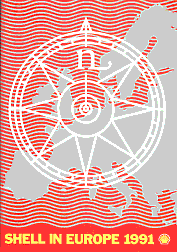 |
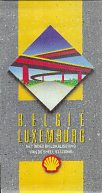
Possibly also produced by Shell's Dutch arm, a 1991 atlas (left) was produced for free distribution to truckers holding euroShell payment cards. Twenty-six A4 map pages located towns with euroShell sites but provided usable if basic maps of each country, each facing a list of selected Shell sites. (The same map was used for both the Belgium and Luxembourg pages.) Britain, France and Germany spread across more than one page, but the rest were on a single page and included most Eastern bloc countries, even where there were no Shell service stations and euroShell service was available through local companies such as Benzina or Istrabenz. |
 |
 |
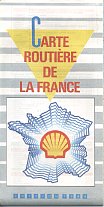
Shell's French arm has also issued locator maps from time to time marking all Shell service stations. Far left is a 1988 Blondel la Rougery production giving site locations on the reverse; near left is a March 1991 version by SA GT Gabelli, listing stations by number in each department beside the map which is printed on both sides. Both are to the scale of 1:1,000,000. |
 |
Shell produced several other maps in the 70s and 80s including ones shown on the France and Denmark pages as well as a range of maps from Germany and Britain including hardback road atlases of Germany and Britain.
Text and layout © Ian Byrne, 2000-13
All original copyrights in logos and map extracts and images are acknowledged and images are included on this site for identification purposes only.

